
Super El Niño Alert: India Braces for Extreme Weather, Rising Temperatures
A powerful El Niño is likely this year, bringing potential drought, storms, and temperature spikes.
Top Summary
- What happened: Forecasters predict a potentially strong "super El Niño" event this year, possibly the strongest in a decade.
- Why it matters: El Niño can trigger droughts, severe storms, and global temperature increases, impacting agriculture, water resources, and overall climate.
- What changes for people: Expect potential disruptions to weather patterns, including altered rainfall, increased heat, and possible impacts on hurricane season.
- Who is affected: Regions across the globe, including the southeastern United States, southern Africa, Indonesia, and Australia, along with wildlife populations.
El Niño's Return: A Decade After the Last Super Event
Scientists are increasingly confident that a powerful El Niño event is developing, possibly starting this spring or summer. The National Oceanic and Atmospheric Administration (NOAA) estimates a 25% chance of a "very strong" El Niño and a 50% chance of a "strong" El Niño.
This phenomenon, occurring every two to seven years, can dramatically shift global weather patterns. It's characterized by chaos, bringing new extremes to various regions.
Understanding El Niño: From Ocean Winds to Global Impact
El Niño originates in the tropical Pacific Ocean. Normally, winds push warm water westward towards Indonesia. When these winds weaken, the warm water moves east, increasing ocean surface temperatures and altering atmospheric circulation.
Satellites and research buoys track these ocean temperatures. The extent of the temperature increase dictates the potential strength of the El Niño.
Super El Niño Defined: A Rare and Powerful Event
A "super El Niño" isn't a formal scientific term. It's used when Pacific Ocean temperatures rise at least 2 degrees Celsius above average. These events are rare.
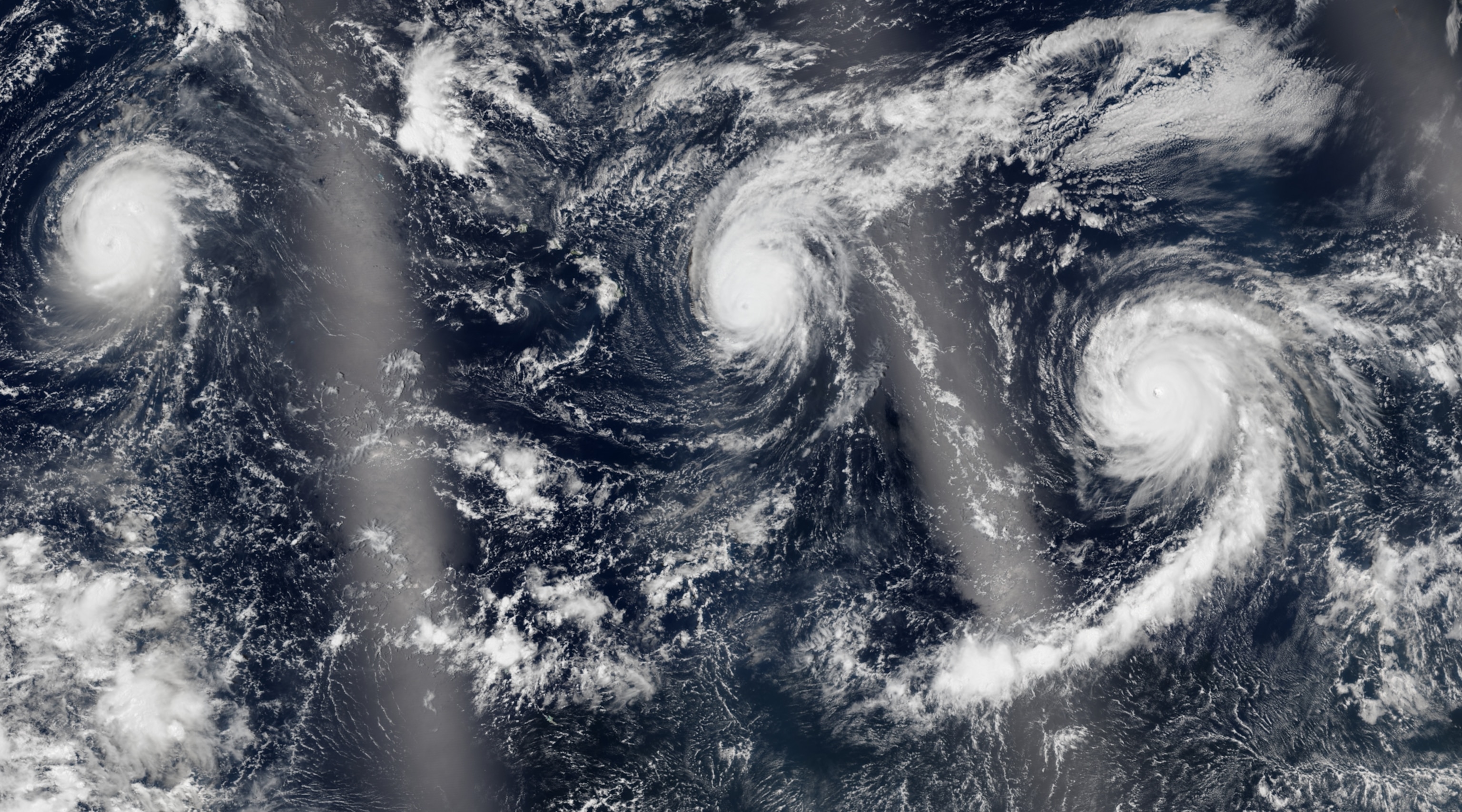
The last super El Niño occurred around 10 years ago, comparable to strong events in the late 90s and early 80s. The 2015-2016 event caused a record-breaking hurricane season in the central North Pacific, water shortage in Puerto Rico, and drought in Ethiopia.
Global Effects: Storms, Drought, and Wildlife Impact
El Niño's effects are far-reaching. It influences storm patterns, drought, wildlife populations, and even Earth's spin.
Emily Becker, a research professor at the University of Miami, notes that El Niño pushes jet streams further south. Some areas, like the southeastern United States and Texas, may experience more rain. Other regions, like southern Africa, could face heat and drought, impacting food crops.
"When we have an El Niño it influences the global atmosphere in such a way that we have a greater chance of knowing where things are going to happen," says Emily Becker.
Warmer waters can also affect wildlife. The penguin population on the Galápagos Islands crashed after strong El Niño events in the 80s and 90s.
Atlantic Hurricane Season: El Niño's Potential Dampening Effect
The first Atlantic hurricane forecast from Colorado State University (CSU) predicts a near or below-average season. Phil Klotzbach, a senior hurricane research scientist at CSU, attributes this to the potential El Niño event.
El Niño increases wind shear, which breaks apart storms. This, combined with cooler Atlantic waters, may lead to a less intense hurricane season.
El Niño: A Chance to Prepare
Scientists emphasize that understanding El Niño allows for better preparation. It's neither inherently good nor bad, but a natural phenomenon that requires careful monitoring.
"I always hesitate to characterize El Niño or La Niña as good or bad," says Becker. "They just are, and pretty much always have been."
What to Watch Next
Scientists will continue monitoring Pacific Ocean temperatures. A clearer picture of the El Niño's strength is expected by early fall. This will help refine predictions and inform preparedness efforts worldwide.