
New map reveals a hidden world under Antarctica: giant mountains, deep valleys, and 30,000 unseen hills
What happened: Scientists have released the most detailed map ever of the landscape buried beneath Antarctica’s ice. • Why it matters now: The discovery reshapes...
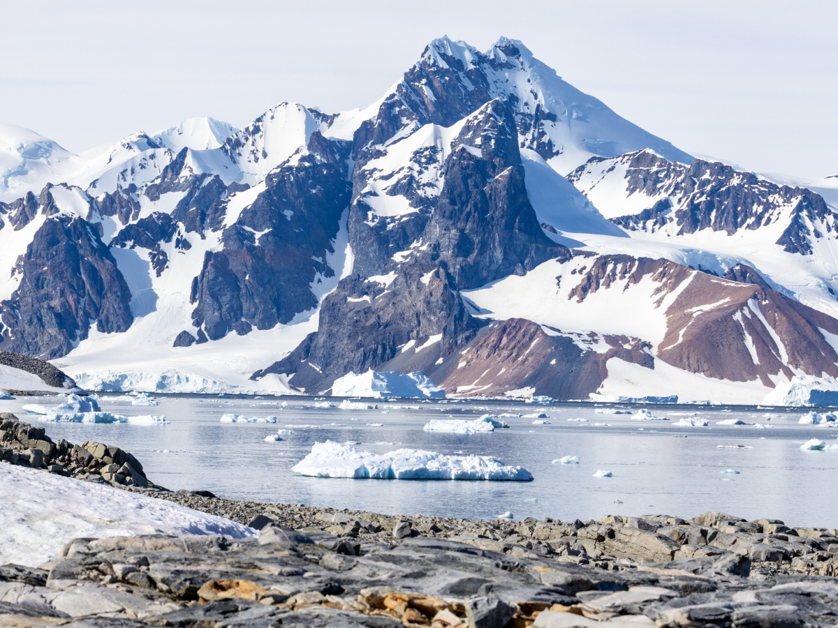
What happened: Scientists have released the most detailed map ever of the landscape buried beneath Antarctica’s ice.
• Why it matters now: The discovery reshapes understanding of ice flow, climate change, and sea-level rise.
• What changes for people: Better predictions of future ice melt and coastal risks worldwide.
• Who is affected: Climate researchers, coastal populations, policymakers, and the global scientific community.
Scientists have uncovered a vast, previously unseen world beneath Antarctica, revealing towering mountain ranges, deep valleys, ancient canyons, and more than 30,000 hidden hills buried under kilometres of ice. The findings come from the most comprehensive subglacial map ever produced, offering an unprecedented view of the continent’s true shape.
A continent beneath the ice
Antarctica is covered by ice that is, in places, more than four kilometres thick, hiding nearly all surface features from view. Until now, large areas of the bedrock remained poorly understood.
The new map shows that beneath the ice lies a dramatically rugged landscape, comparable in complexity to continents visible above sea level. Researchers identified vast mountain systems, long winding valleys, and deep basins carved over millions of years.
How scientists mapped the invisible
To create the map, researchers combined high-resolution satellite data with a method known as ice-flow perturbation analysis. This technique studies subtle changes and ripples on the ice surface to infer what lies beneath it.
By analysing how ice flows over buried features, scientists were able to estimate the shape of the underlying terrain even in regions where direct measurements were impossible. This approach allowed the team to map the entire Antarctic continent, including areas that had never been charted before.
Why this discovery matters
Understanding the shape of the land beneath Antarctica is crucial for predicting how ice sheets behave as the planet warms. The hidden mountains and valleys control how ice moves, where it speeds up, and where it may become unstable.
Scientists say the newly mapped hills and basins could act as channels guiding ice toward the ocean, potentially accelerating ice loss in some regions. This has direct implications for global sea-level rise, which threatens coastal cities and low-lying nations.
A game-changer for climate models
Climate and ice-sheet models rely heavily on accurate maps of bedrock. Until now, uncertainties in Antarctica’s subglacial terrain limited scientists’ ability to forecast long-term ice stability.
With this new map, researchers can: • Improve ice-flow simulations
• Better estimate future sea-level rise
• Identify regions most vulnerable to rapid melting
• Understand how Antarctica evolved over geological time
What scientists say next
Researchers believe the map will guide future field missions, including radar surveys and ice drilling projects aimed at studying Earth’s climate history locked deep within the ice.
They also stress that Antarctica’s hidden landscape is not static. As ice melts and shifts, features that have been buried for millions of years could begin to influence the planet’s future faster than previously expected.