
NASA Satellite Reveals Deep Ocean Tsunami Secrets After 2025 Kamchatka Quake
NASA's SWOT satellite captured unprecedented details of a 2025 mega-tsunami, revealing new insights into deep-ocean wave behavior and earthquake dynamics.
)
Top Summary
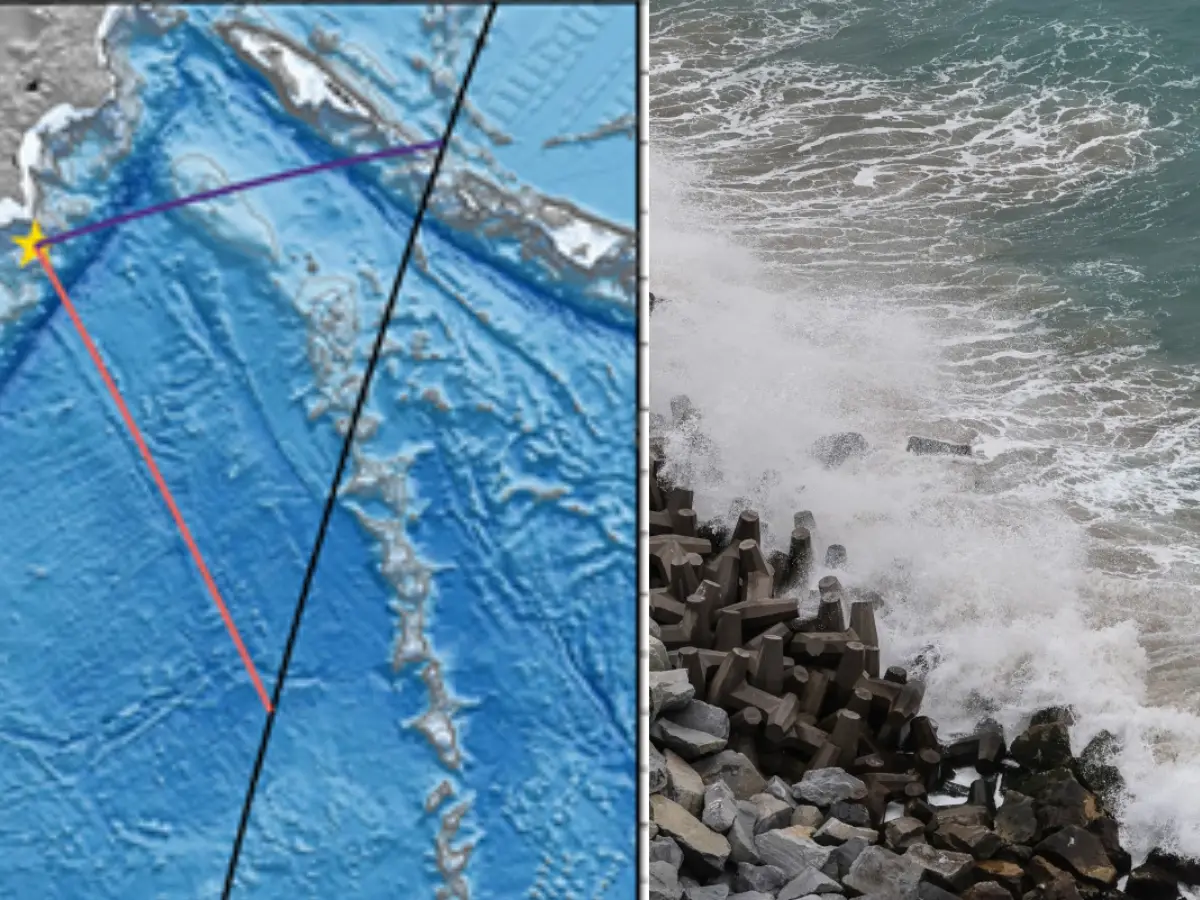
- What happened: NASA's SWOT satellite unexpectedly captured detailed observations of a mega-tsunami generated by an 8.8 magnitude earthquake in the Kuril-Kamchatka region in 2025.
- Why it matters: This marks the first time such a broad, detailed view of a deep-ocean tsunami's evolution has been observed, providing crucial data on wave dispersion and earthquake fault characteristics.
- What changes: While SWOT is not an emergency warning tool, its observations highlight how future satellite technology could significantly enhance tsunami monitoring and understanding. This could potentially lead to improved warning systems globally.
- Who is affected: Primarily scientists and oceanographers gaining unprecedented insights into natural phenomena. Indirectly, coastal communities worldwide could benefit from refined tsunami models and better future warning capabilities.
Unprecedented Tsunami Observation
In 2025, a powerful magnitude 8.8 earthquake struck beneath the Kuril-Kamchatka subduction zone, one of Earth’s most active tectonic boundaries. This event generated a significant tsunami across the Pacific Ocean, drawing immediate attention to regional warnings.
Hundreds of kilometres above the waves, an unexpected scientific opportunity unfolded. A NASA satellite, designed for monitoring Earth’s water systems, fortuitously passed over the developing tsunami.
This chance encounter allowed the Surface Water and Ocean Topography (SWOT) satellite to capture details never before observed at such a scale. The findings offer a fresh perspective on how giant tsunami waves behave once they leave coastlines and enter the open ocean.
The study, published in GeoScience World, highlights SWOT’s unique capability. While traditional deep-water measurements come from isolated instruments, SWOT observed a broad strip of the ocean surface in a single pass.
This provided scientists with a much wider, continuous picture of the tsunami’s evolution, a stark contrast to previous scattered measurements.
Revealing Complex Wave Behavior
For decades, large tsunamis in the deep ocean were considered relatively simple traveling waves. They were expected to preserve much of their structure across entire ocean basins.
However, SWOT’s new observations suggested a more complex reality. Instead of a single, organised pulse, parts of the tsunami appeared to spread and interact in unexpected ways.
Sections of the wave seemed to separate into additional components, trailing the main disturbance. Small variations became visible across regions previously impossible to examine in such detail.
This effect is linked to dispersion, where different wave portions travel at slightly varying speeds. While understood in other wave systems, its influence on very large tsunamis is an active area of research.
Insights into Seafloor Dynamics
Beyond simply observing water movement, the tsunami carried vital information about the earthquake itself. Researchers compared SWOT’s tsunami observations with existing earthquake models, revealing inconsistencies.
Some monitoring stations detected wave arrivals earlier than expected, while others recorded delays. These discrepancies hinted that the rupture beneath the seafloor did not unfold as initially estimated.
Scientists leveraged the tsunami measurements to reconstruct a revised picture of the earthquake. Their calculations indicated a rupture zone extending farther south than earlier assessments suggested.
This means the fault movement covered a larger stretch of the subduction boundary, significantly altering how energy was transferred into the ocean. Tsunami observations are increasingly crucial for exposing seafloor movement details that seismic data alone might miss.
Evolving Global Monitoring Systems
The devastating 2011 Japan earthquake and tsunami profoundly reshaped how scientists approach major seismic events. There is now a growing recognition of the unique information provided by ocean-based observations.
Deep-ocean buoys, known as DART stations, are central to this effort. These systems detect minute changes in water pressure from passing tsunami waves, often before they reach populated coastlines.
Integrating these ocean measurements with seismic records presents challenges due to differing mathematical models. However, events like the Kamchatka tsunami continually underscore the value of combining multiple independent data sources.
What to Watch Next
The Kuril-Kamchatka region has a history of generating some of the Pacific’s largest tsunamis, as evidenced by a major earthquake in 1952 that spurred the development of international warning networks.
Observations from satellites like SWOT demonstrate the kind of detailed information future generations of space-based systems might provide. Although SWOT was not designed as an emergency tool, its capabilities could significantly enhance our understanding and potentially aid in refining future tsunami warning capabilities.