
How remote sensing from space is reshaping our understanding of Earth
From hundreds of kilometres above Earth, satellites are quietly revealing what the human eye cannot see. Using remote-sensing technology, scientists can now assess forest health,...
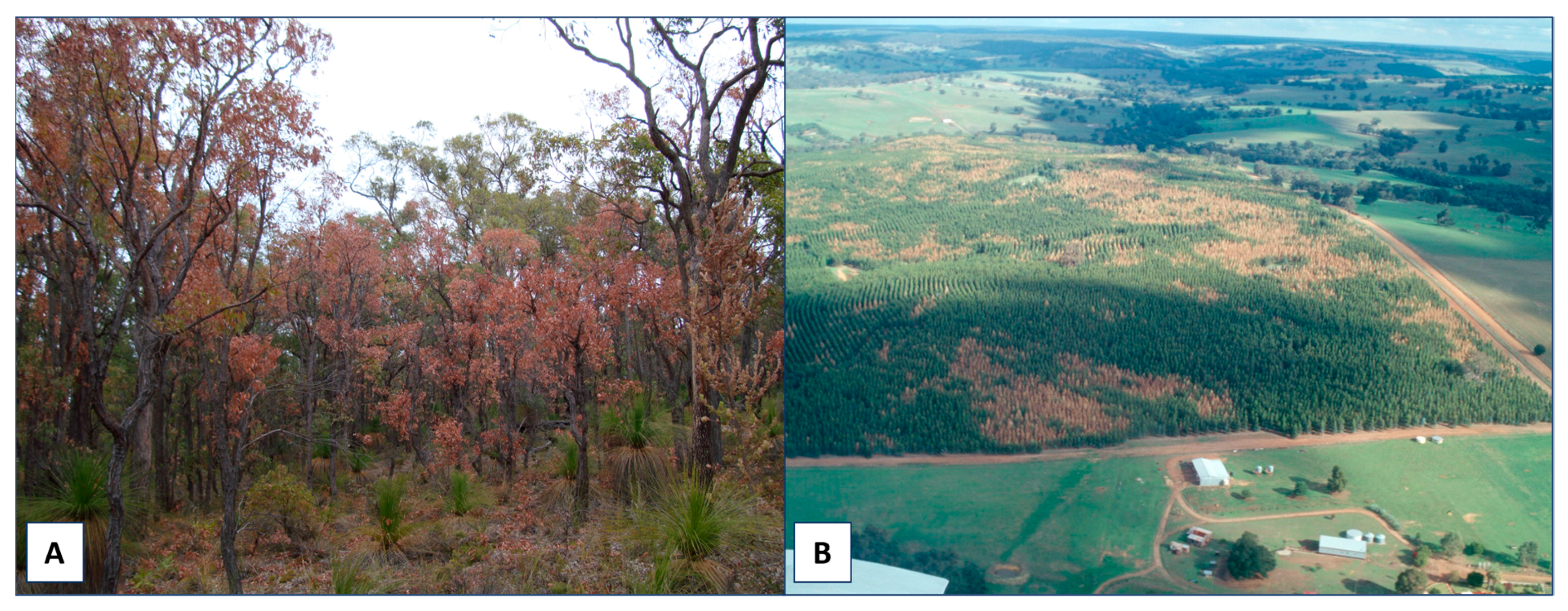
From hundreds of kilometres above Earth, satellites are quietly revealing what the human eye cannot see. Using remote-sensing technology, scientists can now assess forest health, monitor crops, detect underground water, and identify mineral-rich zones without stepping on the ground.
This science, once limited to military and space agencies, has rapidly become a core tool for climate monitoring, resource planning, and environmental protection.
Seeing plants beyond green
Healthy vegetation reflects light differently from stressed plants. Satellites equipped with multispectral and hyperspectral sensors analyse these light patterns to measure chlorophyll levels, soil moisture, and plant stress.
According to NASA and the European Space Agency, such data helps authorities detect droughts, pest outbreaks, and crop failures weeks before visible damage appears. For farmers, this means better irrigation planning and reduced losses.
Tracking forests in real time
Remote sensing has transformed forest monitoring. Agencies now use satellite-based radar and infrared imaging to track illegal logging, wildfire damage, and deforestation trends.
The United Nations Food and Agriculture Organization has highlighted that satellite data enables countries to meet global climate commitments by accurately reporting forest cover and carbon loss.
Early detection of forest stress and fire risk is increasingly seen as a public safety priority.
Mapping minerals without digging
Minerals leave subtle chemical fingerprints on the Earth’s surface. By studying reflected wavelengths, satellites can identify iron ore, copper, lithium, and rare earth deposits.
Geological surveys, including those cited by national space agencies, say remote sensing reduces costly exploratory drilling and lowers environmental disruption. This has major implications for energy security and clean-tech supply chains, especially as demand for batteries and renewable infrastructure rises.
Why governments are investing heavily
Countries are expanding satellite missions to gain strategic and economic advantages. Remote sensing supports water management, border monitoring, disaster response, and urban planning.
Experts note that data-driven land and resource governance helps governments act faster during floods, droughts, and landslides, while improving long-term planning.